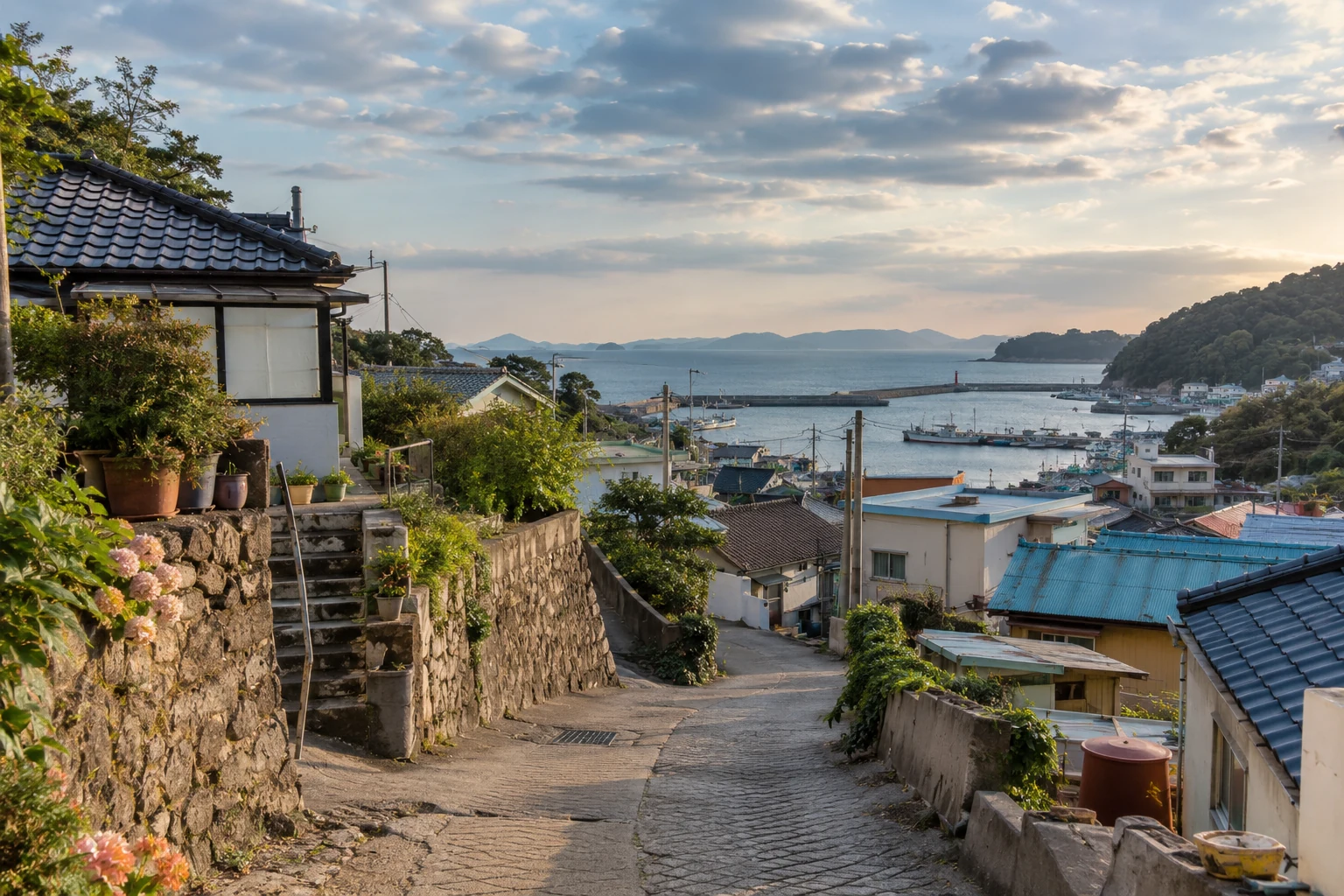
Which Korea does the map describe?
An introduction to Korea can contain several maps at once: a national table of present-day people and homes, the peninsula across which older cultural histories unfold, and a visitor’s small map of accommodation and destinations around Seoul. Each concerns Korea, but not the same territory. The Korean Peninsula as a geographic space and the current administrative and statistical territory of the Republic of Korea need to be read separately.
This site uses the coverage of official Republic of Korea statistics when discussing national households or housing today. Historical articles retain the place names and periods relevant to their subjects. Imposing current boundaries on the past can cut across older relationships and movements. Conversely, archaeological traces across the peninsula and a present-day dwelling total for the Republic of Korea cannot simply be combined in one national table.
Reference date and publication date differ too. Results of the 2025 Population and Housing Census published in 2026 observe conditions on 1 November 2025. Later changes in population or administration do not change the date of that observation. See the official census summary. Attaching a time to a place name allows the changes in people and territory to remain visible.
A Seoul trip can take place outside Seoul
Seoul and the capital region are not interchangeable. Seoul Special City is one top-level jurisdiction; the capital region groups Seoul, Incheon and Gyeonggi. Incheon is a separate metropolitan city rather than a city within Gyeonggi Province. Gyeonggi itself contains several cities and counties. Knowing those relationships reveals how an itinerary labelled “Seoul” can connect several territories. See the National Atlas grouping.
Imagine arriving in Incheon, staying in Gyeonggi and visiting an exhibition in Seoul. The visitor’s interest may centre on Seoul, while the journey crosses three top-level regions. This is an illustrative itinerary, not an interview with an actual visitor. A Gyeonggi resident working in Seoul similarly has a home and workplace in different jurisdictions. Commuting connects them; it does not turn the home address into Seoul.
A capital-region total and a Seoul total answer different questions for the same reason. One component can grow while another declines, even as their sum increases. Describing the region’s national population share as Seoul’s share absorbs Incheon and Gyeonggi into a city they are not part of. The article about Korea beyond Seoul follows workplaces and homes to enlarge that picture.
The current map includes Jeonnam-Gwangju Integrated Special City
The Ministry of the Interior and Safety’s September 2026 resident-registration table lists sixteen top-level regions: Seoul Special City; Jeonnam-Gwangju Integrated Special City; the metropolitan cities Busan, Daegu, Incheon, Daejeon and Ulsan; Sejong Special Self-Governing City; Gyeonggi Province; Gangwon Special Self-Governing Province; Chungcheongbuk-do and Chungcheongnam-do; Jeonbuk Special Self-Governing Province; Gyeongsangbuk-do and Gyeongsangnam-do; and Jeju Special Self-Governing Province. This table’s population coverage, including its exclusion of foreigners, differs from other censuses. Here it establishes the current jurisdiction names rather than an interchangeable population total. See the monthly administrative table.
Older maps show Gwangju Metropolitan City and Jeollanam-do separately. Jeonnam-Gwangju Integrated Special City was established on 1 July 2026. Article 7 of the current special act abolishes those former jurisdictions and establishes the integrated city directly under the government, giving it a position equivalent to Seoul within the scope of that act. The word “special” does not make it a district of Seoul. It is a separate, integrated top-level territory. See the current legal provision.
An early-2026 Ministry of Justice list of seventeen jurisdictions cannot therefore be copied as the current map. Photographs and historical accounts retain the status relevant to their period; current administration needs the post-integration name. A similar name may now refer to a different extent. That does not erase the memories or daily lives of the former areas: cities and rural communities continue to form different places within an integrated jurisdiction.
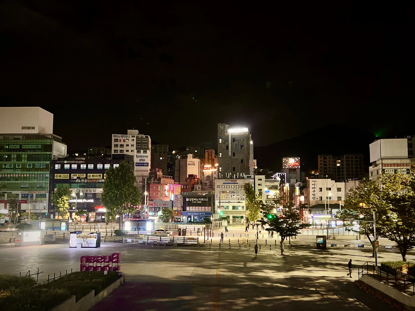
Read an address from Gyeonggi to Suwon to Paldal-gu
The address sequence Gyeonggi-do, Suwon-si, Paldal-gu moves from a province to a city within it and then to a district in that city. Suwon’s official guide lists four districts: Jangan-gu, Gwonseon-gu, Paldal-gu and Yeongtong-gu. Busan Metropolitan City, in contrast, is itself a top-level jurisdiction. Both are casually called cities, but they occupy different levels on the administrative map. See Suwon’s administrative guide.
Without these levels, a photograph of a Paldal-gu street or an area near the historic temporary palace can become an apparent portrait of all Suwon. Districts and neighbourhoods narrow the scope. A city contains several everyday settings, which also explains why its city hall and a resident’s nearby administrative welfare centre can be in different places. The address functions as a sequence of coordinates from the larger region towards the local destination.
A first-time reader need not memorise every administrative term. The useful habit is to recognise the scale indicated by do, si, gu and dong. When the word city appears, separate metropolitan jurisdictions from cities within provinces, then read the smaller district and neighbourhood. A long Korean address becomes a relationship between places rather than a row of unfamiliar names.
Why Yuljeon-dong and Yulcheon-dong can both be relevant
Addresses and administrative-office guides sometimes use different dong names. Suwon explains Yuljeon-dong and Cheoncheon-dong in Jangan-gu as legal neighbourhoods, with Yulcheon-dong as an administrative neighbourhood covering them. The legal name serves addresses and legal activities; the administrative name identifies an office’s operating area. They are not spelling errors for a single name. They perform different roles.
Someone can consequently have an address in Yuljeon-dong while using Yulcheon-dong’s administrative welfare centre for everyday public services. This is an explanatory case, not an account of a resident actually interviewed. Looking for the two names as distant, unrelated towns creates confusion; understanding the place-name and administrative relationship resolves it.
Population and administrative work can lead to administrative neighbourhoods being divided or combined. An established address name and an office’s operating territory therefore need not change in the same way. Neighbourhood population comparisons also depend on whether the unit is legal or administrative. Korean neighbourhood names can place an older geographic name and a present-day service arrangement over the same lived space.
Several everyday routes between Jeju City and Seogwipo
Calling all Jeju a single holiday destination conceals movement between the northern and southern cities. The official bus network links Jeju City and Seogwipo along different roads. Route 181 goes towards Seogwipo via the 516 Road before continuing via Pyeonghwa-ro; route 182 uses the roads in the reverse order. They connect the same cities but pass places in a different sequence. This illustrates actual routes in the landscape rather than recommending the fastest current journey. See the official route list.
Island routes do not stop only at attractions. Route 621 includes Harye-ri Entrance, Sinrye Elementary School and Seogwipo’s traditional five-day market. Route 635 connects the market with Seogwipo Public Health Centre and Namju middle and high schools. Education, medical care and food shopping occupy the same network. Even within one administrative name, everyday destinations point in different directions.
An administrative map explains where a place belongs; a map of daily life explains where people go. Bus routes connect the two. A city’s market and schools cannot fit into a single point bearing its name, just as Jeju’s days cannot survive only as mountain and sea photographs. Routes and timetables can change, but looking at schools alongside markets turns scenery into a lived place.
A table in which Honam includes Jeju
Capital region, Yeongnam, Honam and Chungcheong are names for groupings rather than one universal administrative level. Even a familiar label can cover different territories according to the document’s purpose. The 2021 census terminology appendix groups Seoul, Incheon and Gyeonggi as the capital region; Daejeon, Sejong, Gangwon, Chungbuk and Chungnam as the central region; Gwangju, Jeonbuk, Jeonnam and Jeju as Honam; and Busan, Daegu, Ulsan, Gyeongbuk and Gyeongnam as Yeongnam. In this particular table, Honam includes Jeju. See the census appendix.
That does not make Jeju part of every historical or cultural use of Honam. It is a grouping for this table. A food history, a transport network and an administrative statistical region can use related names for different purposes. These boundaries belong to the 2021 report, and should also be distinguished from the administrative list after the 2026 integration.
Checking the grouping reveals why totals differ and why a single city cannot explain an entire regional value. As Korean homes separates households and dwellings, reading places involves asking what has been included. Different groupings draw different pictures of the same country.
A map changes even when its inhabitants stay home
Regional numbers change through births, deaths and moves, but also through boundaries. When a metropolitan city separates from a province or a new unit forms, people can remain in the same homes while entering a different territorial total. When units merge, a name covers a wider area. A house moving location and the statistical map changing around it are different causes.
Post-integration official price reporting constructs earlier periods for the integrated territory and also provides the former Gwangju and Jeonnam areas for comparison. Older names in a table do not mean that administrative integration has not happened. The publisher has retained two maps to help compare periods. See its coverage explanation.
The pleasure of reading Korea’s map lies less in memorising every name than in moving from regions to cities and neighbourhoods, then out along commuting and shopping routes. A familiar name begins to contain distinct days. I trust a map more when it draws boundaries clearly while keeping the lives that cross them. The map for finding an address and the map for understanding a life can then support one another.
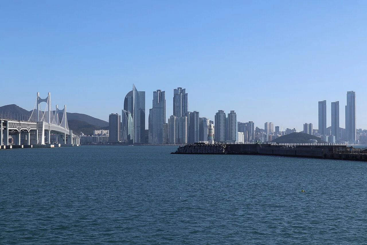
A map that shows boundaries clearly while keeping the lives that cross them helps both the search for an address and the understanding of a place.
Sources & scope
2025 population and housing census: register-based results ↗2026-07-28Urban development and changing administrative areas ↗Internal migration in Korea ↗2026 immigration policy implementation plan: early-year historical document ↗2026Jeju’s ordinary bus routes ↗Establishment of the integrated Jeonnam-Gwangju city ↗Statistical coverage following the July 2026 merger ↗Suwon administration: legal and administrative neighbourhoods ↗September 2026 resident-registration table by administrative territory ↗2021 census appendix: regional grouping definitions ↗2022-07-28Jeju bus routes and their destinations ↗Modules independently explains the verified sources. The lead image is AI-generated for illustration; it is not a documentary photograph of an actual place, event or product.
Updates & corrections
Dates record changes to this document, separately from the reference dates of its sources.
- Content update
Rewrote the article with fuller production, history, examples and source explanations.
- Document connections
Organised representative-document links, search descriptions, paragraph links and revision history. No factual correction.
- First published
Initial creation of the Korean and English document.